Ha Long Bay is generally shallow compared with the open Gulf of Tonkin, but depth alone does not tell you whether a swimming, kayaking or anchoring activity is safe. The Ha Long Bay Management Department gives an average seabed depth of about 5–10 metres, with some navigation channels averaging 15–29 metres.
This guide explains what those official figures mean—and just as importantly, what they do not mean—for normal traveller planning.

Why Ha Long Bay is relatively shallow
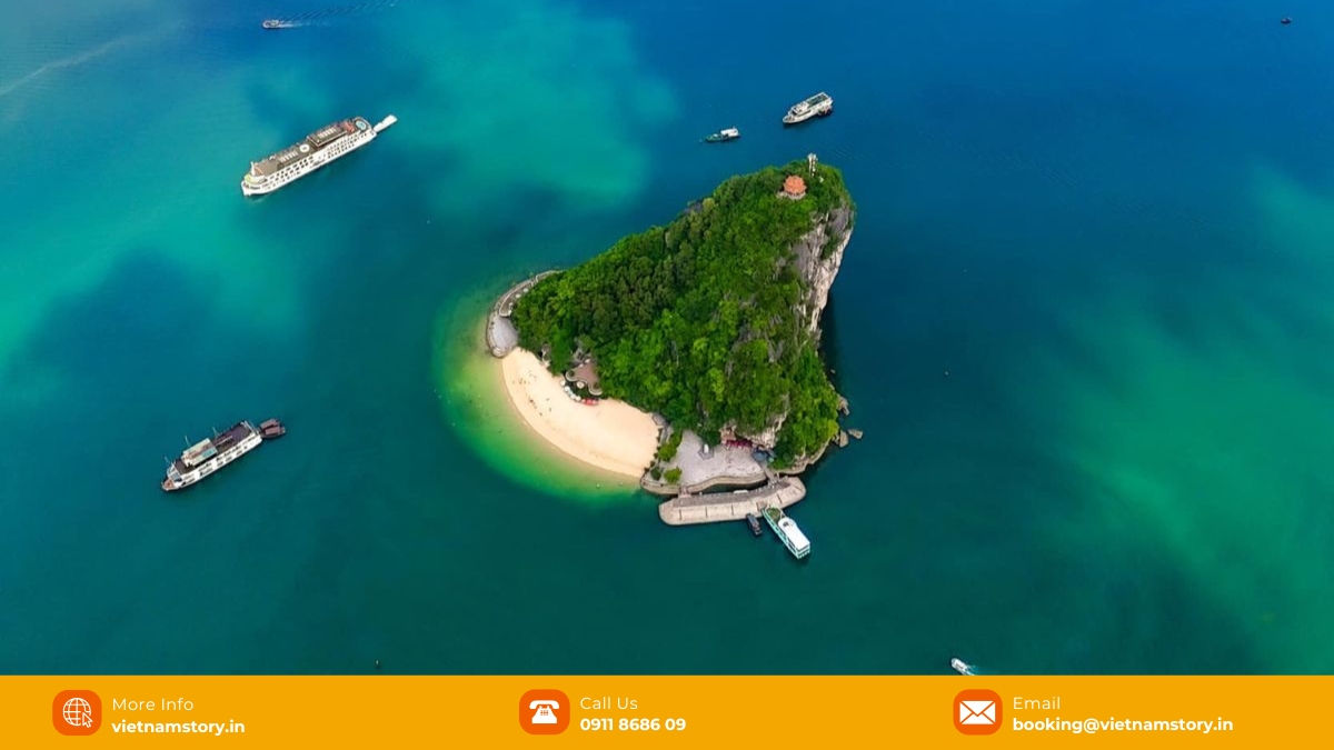
To understand the water, one must understand the land. Ha Long Bay is not a deep ocean abyss; it is essentially a “drowned karst” landscape. Millions of years ago, this area was a limestone forest on dry land. As sea levels rose after the last Ice Age, the valleys between the peaks were flooded, leaving only the tops of the mountains visible as islands.
The current Ha Long Bay Management Department description is straightforward: the seabed is relatively flat, with an average depth of about 5–10 metres; some channels have an average depth of about 15–29 metres.
- General bay floor: about 5–10 metres on average.
- Some navigation channels: about 15–29 metres on average.
- What these figures do not prove: they do not by themselves establish swim safety, visibility, shark presence, anchorage stability or activity suitability.
The figures below stay at the level the management authority actually supports instead of assigning precise depths to every tourist activity zone.
READ MORE: How Was Halong Bay Created?
What the official depth figures can tell you
The useful distinction is between the generally shallow bay floor and the deeper navigation channels. From a VNS trip-planning perspective, we use those figures to explain the terrain—not to decide whether a specific swim, kayak or anchoring stop is suitable. For activities, the managed location, current conditions and crew decision matter more than a generic depth number.
| Official terrain description | Depth | What it means for travellers |
|---|---|---|
| General Ha Long Bay seabed | About 5–10 m average | Useful for understanding the bay’s overall terrain; not a safety rating for a specific activity. |
| Some navigation channels | About 15–29 m average | Shows that channel depth varies from the general bay floor; it does not define cruise-anchor depth or swim conditions. |
What depth does not tell you about safety
Depth is only one physical characteristic of the bay. It does not prove that a swim area is safe, that sharks are absent, that a particular anchorage is stable, or that squid-fishing success can be predicted from one depth figure.
- Swimming: use the managed swim stop and follow the crew’s decision on weather, currents, visibility, boat traffic and other day-of conditions.
- Sharks: shallow water is not evidence that sharks are absent. The separate Ha Long shark guide explains the available marine evidence.
- Squid fishing: treat it as an operator activity, not as a guaranteed outcome of an assumed 10–12 m anchorage depth.
Depth figures are only part of the picture. Tides can change water level and practical access at caves and activity areas during the day.
READ MORE: Best things to do in Halong Bay
How tides change the practical picture
Ha Long Bay has a typical diurnal tide, with one high tide and one low tide each day. The management authority gives a tidal-amplitude range of about 1.9–4.6 metres. That range helps explain why water clearance at caves and activity areas can change, but it should not be turned into a fixed “4 m rule” for every location or hour.
- Kayaking and low arches: access can depend on the water level and operator decision at the time of the visit.
- Non-swimmers: choose a managed swimming setup based on current conditions and staff instructions rather than planning around a fixed beach-depth figure.
- Sun protection: use normal sun protection for outdoor activities, but do not infer a specific UV intensity or coral depth from the bay’s average water depth.
The bay’s island topography also affects how exposed different areas are to waves and water movement.
Topography, waves and visibility
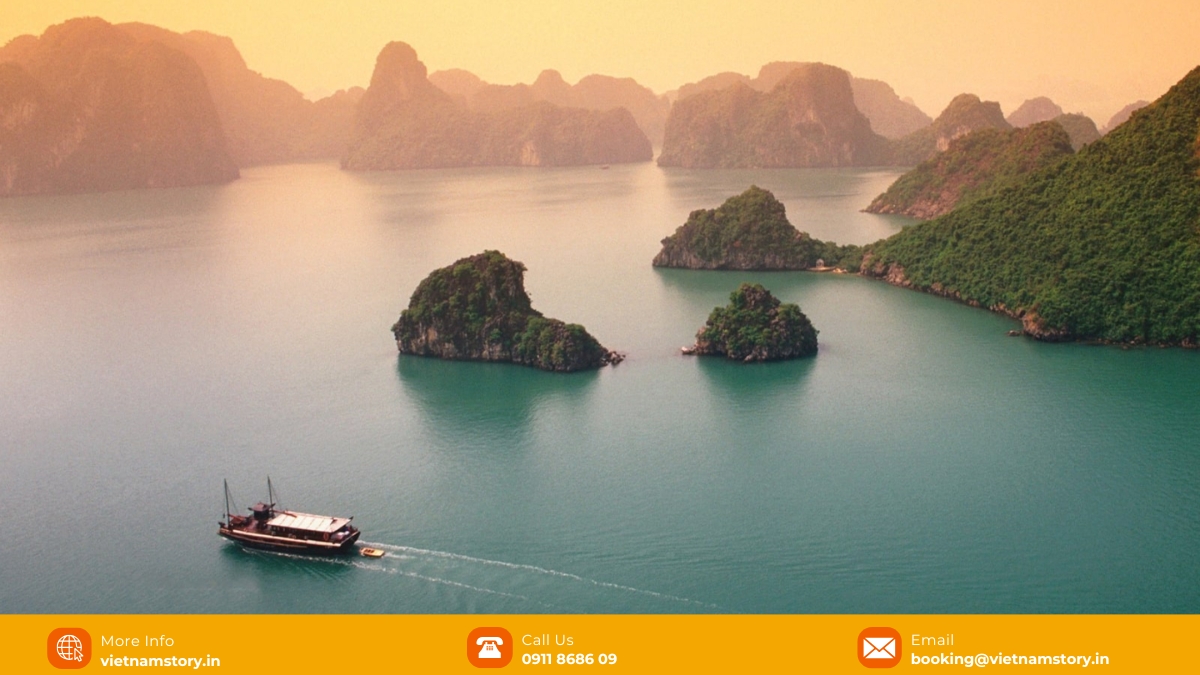
The management authority describes Ha Long Bay as a landscape of islands, marine depressions, intertidal areas and steep limestone formations. The many islands help shield parts of the bay, and the authority gives an average wave height of about 0.5 m under normal conditions, with much higher waves possible in storms.
Do not plan around a universal visibility figure or assume the bay is “wave-less”. Visibility and water movement vary with weather, sediment, location and season, and what you see from a kayak does not establish the depth of the water below.
CRUISE ACTIVITY CHECK
If depth is part of your question because you want to swim or kayak, choose the cruise by its actual activity setup rather than by one bay-wide depth figure.
- Swimming priority: confirm whether the itinerary normally includes a managed swim stop and what happens when weather changes.
- Kayaking priority: compare the route and activity location, not just the vessel category.
- Family / nervous swimmer: ask how guests enter the water, what flotation equipment is supplied and whether participation is optional.
Then compare the Ha Long Bay cruise options with those requirements in mind.
Depth describes the bay floor; it does not decide activity safety
The most defensible answer is that Ha Long Bay averages about 5–10 metres deep, while some navigation channels average about 15–29 metres. Those figures describe terrain, not a safety guarantee. For swimming, kayaking or other water activities, use the managed location, current weather and water conditions, and the crew’s instructions on the day.