
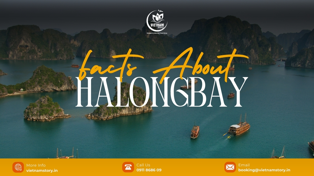
Facts about Ha Long Bay are easy to mix up because different websites often use different geographical and UNESCO boundaries. This guide separates the geographical bay from older Ha Long-only heritage figures and the current UNESCO property, then explains the most useful verified facts without turning every number into a travel claim. For a broader trip overview, use our Ha Long Bay destination guide.
Ha Long Bay facts at a glance
The first fact to understand is that “Ha Long Bay” and the current UNESCO property are not exactly the same scope. The geographical bay is a local geographic entity in Quang Ninh, while the current World Heritage property is Ha Long Bay–Cat Ba Archipelago, spanning parts of Quang Ninh Province and Hai Phong City.
The table below keeps each number attached to the scope it actually describes. This prevents the common mistake of treating old Ha Long-only figures and the current UNESCO property as if they were the same boundary.
| Fact | Value | What this number refers to | Authority |
|---|---|---|---|
| Geographical Ha Long Bay area | 1,553 km² | The geographical bay in Quang Ninh | Ha Long Bay Management authority |
| Geographical Ha Long Bay islands | 1,969 | Islands within the geographical bay; 980 are named | Ha Long Bay Management authority |
| Older Ha Long heritage area | 434 km² | The earlier Ha Long-only World Heritage area | Ha Long Bay Management authority |
| Older Ha Long heritage islands | 775 | Islands within that earlier Ha Long heritage area | Ha Long Bay Management authority |
| Current World Heritage property | 65,650 ha | Ha Long Bay–Cat Ba Archipelago | UNESCO |
| Current property islands/islets | 1,133 | The current Ha Long Bay–Cat Ba Archipelago property | UNESCO |
| Current UNESCO criteria | (vii) and (viii) | Natural beauty and geology/geomorphology | UNESCO |
Source note: the geographical figures above come from the Ha Long Bay management authority; the current World Heritage figures and criteria come from UNESCO. Depth, visitor numbers and wildlife counts are separate claims and need their own current evidence rather than being inferred from these area figures.
Fact 1: Ha Long Bay and the current UNESCO property are not the same scope
The geographical bay in Quang Ninh is larger than the older Ha Long-only World Heritage area, while the current UNESCO property is a different boundary again because it includes the Cat Ba Archipelago. This is why credible websites can show different area and island figures without all of them referring to the same thing.
Fact 2: The current World Heritage property crosses two administrative areas
The current UNESCO property is not confined to Quang Ninh. Ha Long Bay–Cat Ba Archipelago spans Quang Ninh Province and Hai Phong City. This is another reason a map of the World Heritage property can look different from a map labelled simply “Ha Long Bay”.
Fact 3: The UNESCO property changed in 2023, but its criteria did not
Ha Long Bay was inscribed on the World Heritage List in 1994. Its geological value under criterion (viii) was added in 2000. In 2023, UNESCO approved a significant boundary modification adding the Cat Ba Archipelago and the official property became Ha Long Bay–Cat Ba Archipelago.
The current criteria are still (vii) and (viii). The World Heritage Committee encouraged Viet Nam to consider a possible future nomination under criterion (x), but criterion (x) is not currently inscribed for this property.
Fact 4: UNESCO recognises both the scenery and the geology
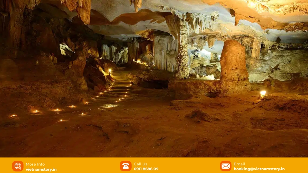
Criterion (vii) recognises exceptional natural beauty. Criterion (viii) recognises geological and geomorphological value. That distinction is useful because it explains why Ha Long is more than a scenic cruise backdrop: the towers, cliffs, caves and drowned karst forms are part of the reason the landscape has global geological significance. For the meaning of those criteria and Outstanding Universal Value in traveller-friendly language, see our Ha Long natural heritage guide.
Fact 5: “Ha Long” means “Descending Dragon”
The Vietnamese name Ha Long is commonly translated as “Descending Dragon”. The well-known story that dragons dropped or spat jewels into the sea to form the islands belongs to local legend and should be read as folklore, not as a geological explanation of how the bay formed.
Archaeological evidence indicates long prehistoric human occupation in the wider Ha Long–Cat Ba landscape. A detailed chronology needs archaeology-specific evidence, so it should not be inferred from the geographical or UNESCO figures above.
Fact 6: The famous towers are part of a marine-invaded karst landscape
UNESCO describes Ha Long Bay–Cat Ba Archipelago as an outstanding example of marine-invaded tower karst. In practical terms, the sea now occupies parts of an older limestone landscape, leaving steep towers, cliffs, caves, drowned depressions and enclosed waters as visible features.
This description explains the visible landform, but it does not by itself establish the full geological formation timeline.
Fact 7: UNESCO and New7Wonders are separate recognitions
Ha Long Bay is also recognised by the New7Wonders of Nature initiative, but that recognition is separate from UNESCO World Heritage status. New7Wonders came from a global voting campaign; UNESCO uses a different intergovernmental World Heritage process and evaluates specific criteria and Outstanding Universal Value.
Fact 8: UNESCO monitoring shows conservation remains an active issue
Current status checked: 2026. World Heritage status does not mean the conservation problem is finished. UNESCO’s 2026 monitoring decision raised concern about the scale and pace of tourism and urban development in the buffer zone and wider setting, including effects on visual integrity, coastal landscapes, and marine and terrestrial ecosystems.
That is why this guide avoids treating words such as “pristine”, “untouched” or “fully protected” as universal facts about the whole destination. Conservation, visitor management and development pressure remain active issues that need current monitoring.
Which Ha Long Bay facts should you use?
If you are quoting a number, first ask what boundary it describes. Use the geographical Ha Long figures for the bay itself, the older 434 km² / 775-island figures only when discussing the earlier Ha Long heritage boundary, and the 65,650 ha / 1,133-island figures for the current Ha Long Bay–Cat Ba Archipelago World Heritage property.
For source verification, see the Ha Long Bay management authority’s geographical information, the UNESCO World Heritage listing, the 2023 UNESCO decision, and the 2026 UNESCO monitoring decision.